Charting A Path Forward In Environmental Justice
Program News
By Stephanie Miceli
Last update September 10, 2021
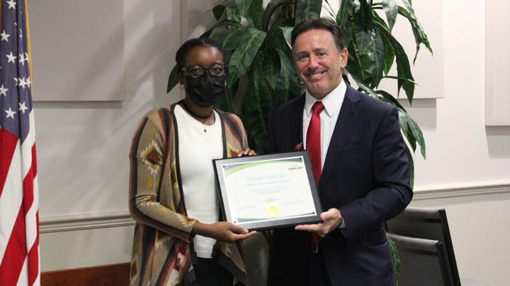
Using data science and maps to visualize historical inequities and climate change, GRP Science Policy Fellow, Simone Chapman is working to make strides in environmental justice.
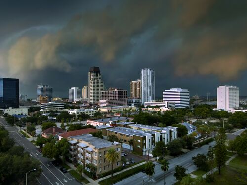
Staring at the patchwork map on her computer, Simone Chapman zooms in on Tampa Bay, grounding the viewer in science and history. Chapman, a 2020 Science Policy Fellow with the Gulf Research Program, has created a mapping methodology that ensures tools make use of racial equity research and data layers are used consistently.
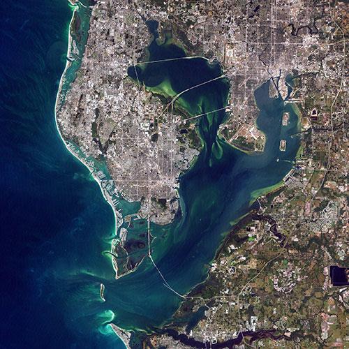
During her fellowship with the Tampa Bay Regional Planning Council (TBRPC), Chapmanhas focused on applying a racial equity lens to her work in environmental management. Environmental justice has emerged as major focus discussion in climate policy discussions, with a growing awareness that that certain racial and low-income populations are more vulnerable to the increased flooding, heat waves, and other extreme weather events associated with a warming planet.
“Mapping tools help identify environmental inequalities,” says Chapman who supports the Resilience and Energy Assessment for Community and Housing (REACH) initiative at TBRPC. “A lot of times you can’t see inequalities, they aren’t in your face. It's over time, or it's looking at things spatially, that you begin to understand data and change over time.”
The REACH initiative provides tools to local and regional governments and staff assessing extreme weather risks to communities. The tools can be used to define strategies and policies to increase affordable and resilient housing. Chapman was charged with creating a companion guide that provides a consistent framework for the region and its localities to inform environmental management decisions. For example, local governments will consistently use the same sea-level curve. Chapman has also incorporated historical research to inform the guide, considering issues including housing discrimination and the legacy of redlining.
“To this day, redlined areas have the highest heat numbers because of concrete,” explains Chapman. “When you know the history and when you know certain vulnerabilities, they can be taken into consideration.”
To Chapman, environmental justice in the context of housing and resiliency means when a flooding event happens, displaced people have access to affordable homes. It also means people who are at risk for flooding can receive funding for home upgrades that increase resiliency. And when communities are redeveloped, historically disinvested communities receive equal opportunities.
“When we make decisions about housing and redevelopment, we need to make sure that things are equitable,” she says. “We need to be able to provide resources and tools for people to prepare and recover from flooding or extreme weather events.”
Chapman is also using mapping and data science for a food study project. She has assessed the number of stores carrying affordable and healthy food options, vitamins, and medical supplies at risk from flood events. With this information, local and county staff can identify stores that will be unreachable following a severe storm and target their efforts accordingly.
Environmental justice is not only multifaceted with deep connections to climate, racism, and resiliency, but the consequences of inequity can also compound. A flooding event can lead to housing insecurity which can cause health issues that lead to educational challenges and so forth, Chapman added.
“Right now, people are seeing these things happen, people are more open to understanding climate change. When that happens, the conversation is going to continue, people are listening. I think this is a great time to get into this field and talk about these issues.”
Contact:
Stephanie Miceli, Media Relations Officer
Office of News and Public Information
202-334-2138; e-mail news@nas.edu