Everyday Impacts of a Largely Unseen World: Why Mapping the Ocean Floor Matters More Than Ever
Program News
By Kim Halperin
Last update August 3, 2026
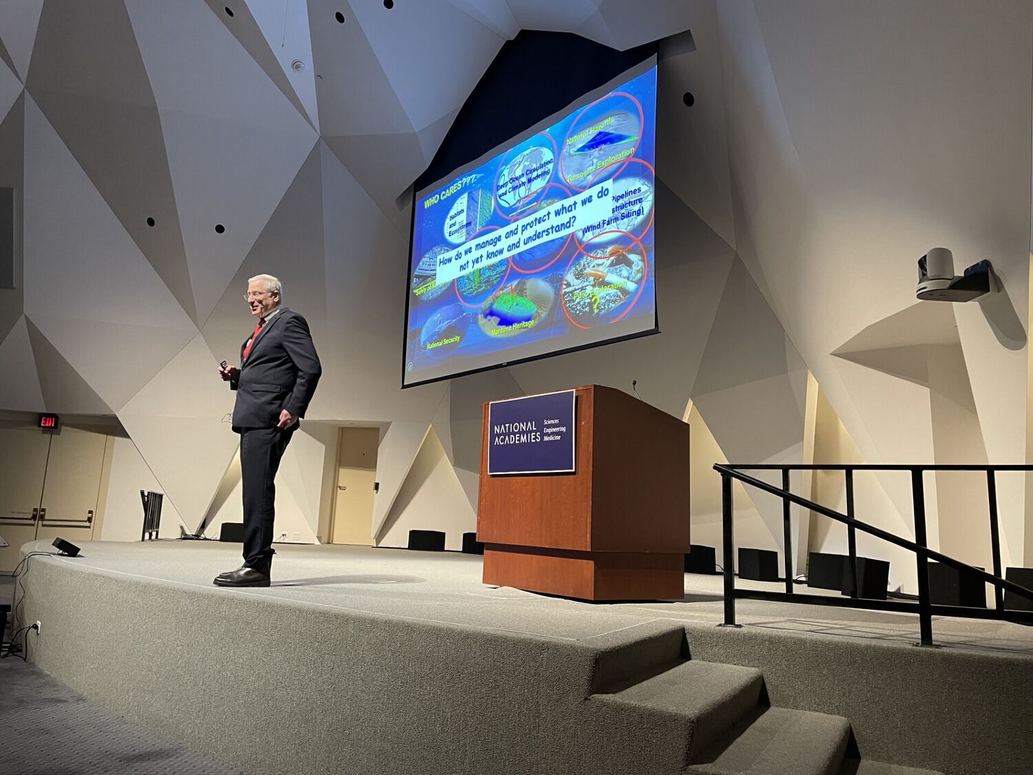
Larry Mayer speaking at 2026 Revelle Lecture
From global shipping routes to the cables that power the internet, much of modern life depends on understanding a landscape that remains largely unmapped: the ocean floor.
At the 27th annual Roger Revelle Commemorative Lecture, held March 17, 2026, at the National Academy of Sciences in Washington, D.C., ocean scientist Larry Mayer brought this hidden world into focus. Mayer, professor and director of the Center for Coastal and Ocean Mapping at the University of New Hampshire and a former chair of the National Academies’ Ocean Studies Board, outlined both the critical importance of seafloor mapping and the scale of what remains unknown.
Nearly three-quarters of the global seafloor has yet to be mapped at high resolution, a striking gap given how central the ocean is to supporting life and livelihoods. As Mayer described, ocean mapping supports a wide range of practical applications, including safe navigation and shipping efficiency, fisheries and food supply chains, climate and tsunami modeling, and telecommunications infrastructure. Subsea cables carry the vast majority of international data traffic, and mapping is essential for their placement and maintenance. It also plays a role in identifying resources and monitoring environmental impacts.
Despite these widespread applications, the ocean floor remains far less explored than other parts of the planet. Mayer emphasized the technical challenges of working in a deep environment opaque to light. Because light does not travel well underwater, scientists rely on sound-based technologies to map the seafloor. Thus unlike land, where satellite imagery can rapidly provide detailed maps over large areas, seafloor mapping using sound-based technologies are deployed from relatively slow-moving ships or autonomous platforms.
The lecture traced how these technologies have evolved over time. For thousands of years, the only method for measuring ocean depth was remarkably simple. “For four thousand years, we only had one way to map the depth of the ocean, a hunk of lead at the end of the rope,” Mayer said. He also noted how little the technology changed over centuries, joking that “the only innovations over thousands of years were piano wire and peanut butter,” referring to the eventual switch from rope to piano wire and from tallow to peanut butter on the bottom of lead lines used to help determine when they had reached the seafloor.
Modern ocean mapping now looks dramatically different. Advances in multibeam sonar systems allow scientists to map large areas of the seafloor in high resolution, revealing both depth and the structure of underwater landscapes. These technologies are already helping scientists better understand marine ecosystems and cultural heritage sites. Mayer described how sonar mapping led researchers to identify and map some of the largest cold-water coral reefs ever discovered, which “have been protected now” as a result of the mapping efforts. He also recounted a recent expedition to Iron Bottom Sound near Guadalcanal in the Solomon Islands, where autonomous systems and remotely operated vehicles were used to efficiently map and investigate historic World War II shipwrecks scattered across the seafloor.
New mapping capabilities are also providing scientists with more than just depth measurements. By recording the amplitude of returning sound waves, researchers can generate “backscatter” data that helps reveal characteristics of the seafloor itself. “We can really start addressing issues of benthic habitat,” Mayer explained, describing how backscatter can help identify seep sites and other indicators of underwater communities and environmental conditions.
Even with these advances, Mayer noted that completing a comprehensive map of the ocean floor will require sustained effort and investment. That investment, however, is relatively modest in context. Estimates suggest that mapping the global seafloor could cost on the order of $5 billion, a fraction of the roughly $11 billion spent on mapping missions to Mars. Framed this way, ocean mapping represents a comparatively cost-effective opportunity to improve safety, strengthen infrastructure, improve economic stability, and expand scientific understanding.
Mayer also highlighted ongoing national and international efforts to accelerate mapping, including the Seabed 2030 initiative as well as the Implementation Plan for a National Strategy for Ocean Mapping and Characterizing the United States Exclusive Economic Zone to close remaining data gaps. These efforts have implications not only for navigation and resource management, but also for hazard assessment, climate modeling, and ocean exploration.
Throughout the lecture, a consistent message emerged: the ocean floor is not a distant frontier, but a foundational part of modern society. Expanding our understanding of it, through continued advances in technology and coordinated global investment, could unlock benefits across industries while deepening knowledge of the planet’s largest and least explored environment.
Featured Event
March 17, 2026
5:30 PM - 6:30 PM (EDT)