Past
Topics
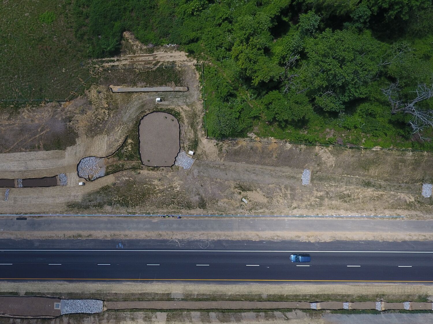
Applications for unmanned aerial vehicles (UAVs), or drones, have become more ubiquitous. TRB hosted a webinar on Tuesday, March 16, 2021 from 1:00-2:30 PM Eastern that explored the use of UAVs for the purposes of monitoring geotechnical infrastructure. Presenters discussed Federal Aviation Administration (FAA) guidelines, UAV platforms, and their infrastructure monitoring applications.
This webinar was organized by the TRB Standing Committee on Geotechnical Instrumentation and Modeling.
The recording is available.
Webinar agenda and presenters
- FAA guidelines: Michael O’Shea, FAA
- Different UAV platforms and sensors: Thomas Oommen, Michigan Tech University
- Case studies: applications of unmanned aerial vehicles in monitoring geotechnical assets, Surya Sarat Chandra Congress, Texas A&M University (TAMU)
- Question and answer session: Khalid Mohamed, Federal Highway Administration
The first 60 minutes of the webinar will be for presentations and the final 30 minutes will be reserved for audience questions.
Learning Objectives
At the end of this webinar, participants will be able to:
- Identify FAA guidelines to safely conduct aerial inspections
- Discuss applications of UAVs for infrastructure monitoring
- Discuss importance of using different sensors to collect data
Professional Development Hours
Professional Development Hours (PDHs) earned on completion of this program were reported to the Registered Continuing Education Program (RCEP). Certificates of Completion are issued to all participants via the RCEP.net online system. Complaints about registered providers may be addressed to RCEP, 1015 15th Street, NW, 8th Fl., Washington, DC, 20005.
Disclaimer
Organizers
Major units and sub-units
Transportation Research Board
Lead
Technical Activities Division
Lead
Contact
More like this